Magna Carta
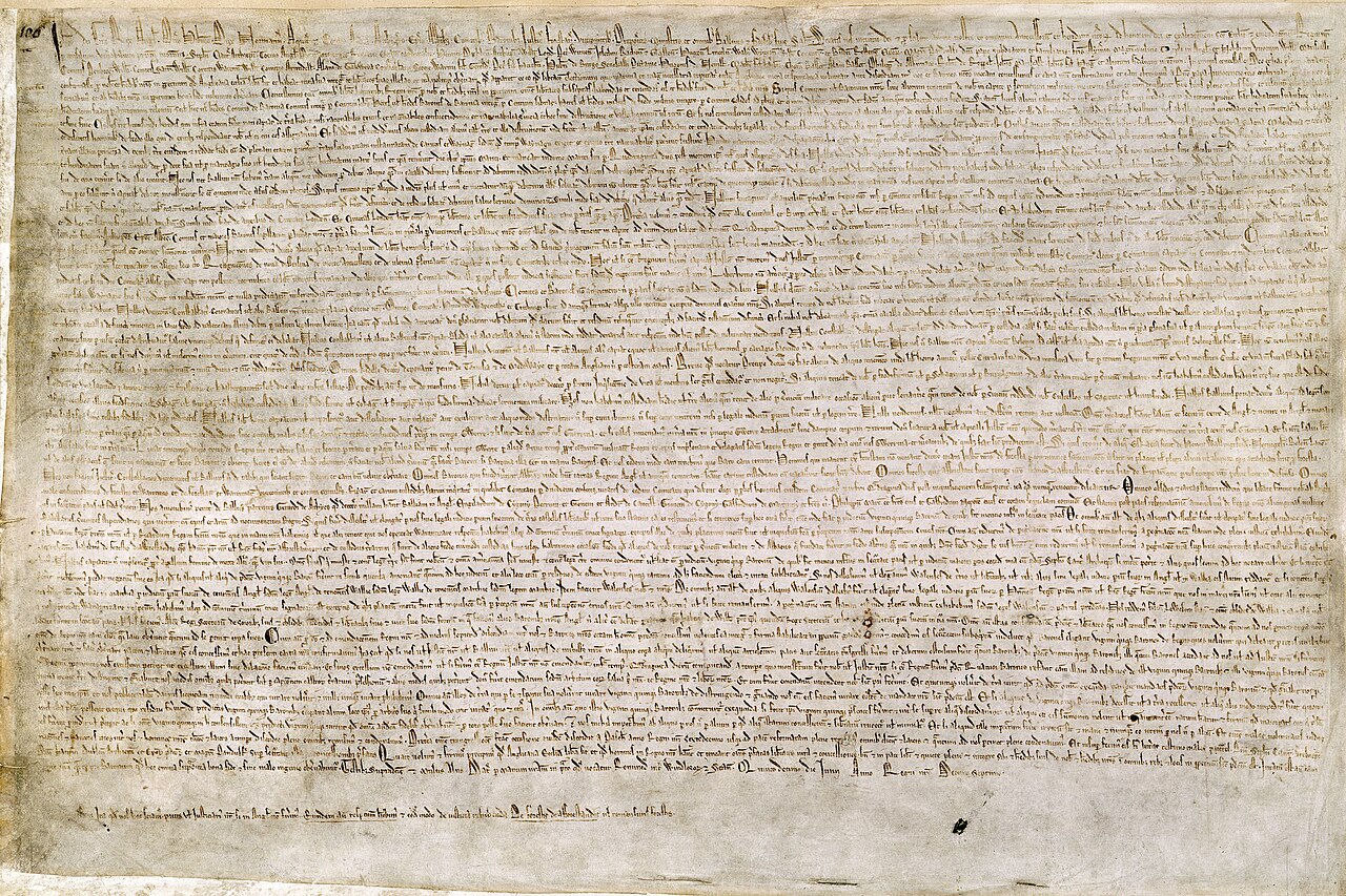
Runnymede is a flat meadow on the southern bank of the River Thames in England, sitting on the island of Great Britain just west of London — exactly the kind of quiet riverside ground where a king and his barons could meet on neutral territory. There, in 1215, King John was forced by rebellious barons to seal the Magna Carta, a charter declaring that even the king must obey the law and guaranteeing certain rights to free men.
The Thames, which flows eastward from the hills of central England to the North Sea, has long been the spine of English political life — London grew at its tidal limit, and the river corridor became the heartland of royal and parliamentary power. England occupies the southern and larger portion of Great Britain, the biggest island in an archipelago separated from the European mainland by the narrow English Channel and the North Sea.
This event appears in EraPin — a daily game where you decode geographic clues to place historical events on the map. Five rounds. Free to play.
Play today's EraPin →For teachers
This event in EraPin gives students practice in absolute and relative location reasoning — a core skill in the C3 Framework and most geography standards.
The clue uses spatial language students must decode:
Combined with the era markers (Chainmail, stone castles, siege towers, Gothic cathedrals, manuscripts), students reason their way to Runnymede, Kingdom of England in 1215 without prior knowledge of the specific event. Each clue is designed to teach geographic literacy, not just test it.
See how EraPin works in classrooms →Related events
Source: EraPin event archive. Historical details drawn from publicly available sources including Wikipedia.